Navigating the complexities of water scarcity assessment can be quite the puzzle. Imagine having a comprehensive guide that breaks down each step, making it as straightforward as following a map to a hidden treasure.
As you start uncovering the layers of tools and techniques designed to evaluate water scarcity, you'll be intrigued by the diverse strategies used to tackle this global challenge. From remote sensing technologies to hydrological models and socioeconomic indicators, each piece of the puzzle plays a crucial role in understanding and addressing water scarcity.
Key Takeaways
- Water Scarcity Index (WSI) and Water Risk Filter are essential tools for assessing water scarcity, quality, and risks for businesses and communities.
- Remote sensing techniques, including satellite imagery and drones, provide real-time data for monitoring water availability and quality, aiding in timely interventions.
- GIS applications offer effective visualization and analysis of water scarcity data, facilitating informed decision-making in water resource management.
- Hydrological models are crucial for accurate assessment of water scarcity levels, requiring reliable data input and validation for meaningful analysis.
Overview of Water Scarcity Assessment Tools
When evaluating water scarcity, utilizing various assessment tools can provide valuable insights into the availability and quality of water resources. One key tool is the Water Scarcity Index (WSI), which combines factors like water stress, water quality, and population density to give a comprehensive picture of water scarcity in a region. By using the WSI, you can pinpoint areas facing the most severe water shortages and prioritize interventions.
Another essential tool is the Water Risk Filter, which assesses both water scarcity and water quality risks for businesses and communities. This tool helps identify potential water-related challenges and develop strategies to mitigate them effectively.
Additionally, remote sensing technologies like satellites and drones offer a bird's eye view of water resources, enabling rapid assessment of changes in water availability and usage patterns.
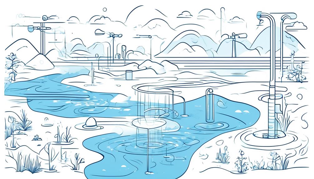
Remote Sensing Techniques for Water Scarcity
To gain a deeper understanding of water scarcity, now let's explore how remote sensing techniques play a crucial role in monitoring water resources from a broader perspective.
- Satellite Imagery:
- Provides real-time data on water bodies, vegetation health, and land use changes.
- Helps identify areas experiencing drought or water stress by analyzing changes in surface water levels.
- Remote Sensors:
- Measure water quality parameters like turbidity and chlorophyll levels.
- Aid in detecting pollution sources and assessing the impact on water resources.
- Drones:
- Capture high-resolution images of water sources for detailed mapping and analysis.
- Enable quick assessment of inaccessible or hazardous areas for better water management strategies.
These remote sensing technologies offer a bird's eye view of water availability and quality, allowing for timely interventions and sustainable water resource management. By harnessing these tools, researchers and policymakers can make informed decisions to address water scarcity challenges effectively.
GIS Applications in Water Scarcity Assessment
GIS Mapping Technology can visually represent water scarcity data.
Spatial Data Analysis can uncover patterns and trends.
Resource Allocation Optimization can enhance decision-making processes in water management.
GIS Mapping Technology
Unlock the power of GIS Mapping Technology to visualize and analyze water scarcity data effectively. By utilizing GIS applications in water scarcity assessment, you can:
- Spatial Analysis: Identify regions with high water stress levels through spatial mapping.
- Utilize geospatial data to pinpoint areas experiencing severe water scarcity.
- Resource Management: Optimize water allocation by analyzing supply and demand dynamics.
- Implement efficient water resource management strategies based on GIS insights.
- Decision Support: Make informed decisions by integrating various data layers in a geographic context.
- Use GIS mapping technology to support decision-making processes related to water scarcity mitigation efforts.
Spatial Data Analysis
Embark on a journey of understanding water scarcity through the lens of Spatial Data Analysis with GIS applications. Spatial Data Analysis involves examining data within geographical spaces to uncover patterns and relationships.
By utilizing GIS technology, you can visualize water availability, demand, and quality across various locations. GIS allows you to overlay different datasets, such as population growth or land use, to identify areas at risk of water scarcity.
Through this analysis, you can pinpoint where interventions are most needed and make informed decisions to address water challenges effectively. Visualizing data spatially provides a clear picture of water scarcity hotspots, enabling stakeholders to allocate resources efficiently.
Dive into Spatial Data Analysis to explore the intricate dynamics of water scarcity and pave the way for sustainable solutions.
Resource Allocation Optimization
To enhance the effectiveness of addressing water scarcity, optimizing resource allocation through GIS applications is crucial for identifying targeted solutions.
Here's how you can make the most of GIS tools for resource allocation optimization:
- Spatial Analysis: Utilize GIS to analyze geographical data and determine areas with high water stress.
- Identify Water Sources: Locate available water sources and assess their capacity.
- Demand Forecasting: Predict future water demands based on population growth and trends.
- Optimal Distribution: Use GIS to plan efficient water distribution networks, ensuring equitable access.
Use of Hydrological Models for Scarcity Analysis
When using hydrological models for scarcity analysis, it's crucial to consider the accuracy of the model in portraying real-world conditions. Inputting precise and reliable data into the model is key to obtaining meaningful results.
Challenges may arise when interpreting the complex outputs generated by these models, requiring careful analysis to derive actionable insights.
Model Accuracy Importance
Understanding the precision of hydrological models is crucial for accurately assessing water scarcity levels. When evaluating model accuracy, consider the following:
- Data Quality: Ensure that the data input into the model is reliable and up-to-date.
- Regularly verify the sources of your data to maintain accuracy.
- Model Calibration: Fine-tune the model parameters to match observed data.
- Calibration improves the model's ability to simulate real-world conditions accurately.
- Validation: Confirm that the model outputs align with actual measurements.
- Validation helps assess the reliability of the model results.
Data Input Considerations
Consider the reliability and currency of the data input into hydrological models when analyzing water scarcity levels. The accuracy of your water scarcity analysis heavily relies on the quality of data fed into the models. Outdated or inaccurate data can lead to flawed results and ineffective water resource management strategies.
Ensure that the information you input, such as precipitation levels, evapotranspiration rates, and land use changes, is up-to-date and reliable. Hydrological models use this data to simulate water availability, flow patterns, and demands within a specific region.
Output Interpretation Challenges
Output Interpretation Challenges
To effectively navigate the challenges of interpreting outputs from hydrological models for water scarcity analysis, ensure a thorough understanding of how these models translate data into actionable insights. Here are some key points to consider:
- Model Assumptions: Understand the underlying assumptions of the hydrological model used, as these can greatly impact the accuracy of the scarcity analysis.
- Data Quality: Evaluate the quality of input data and the uncertainties associated with it to gauge the reliability of the model outputs.
- Spatial and Temporal Resolution: Consider the spatial and temporal scales at which the model operates to correctly interpret the results in the context of water scarcity assessment.
Socioeconomic Indicators in Water Scarcity Assessment
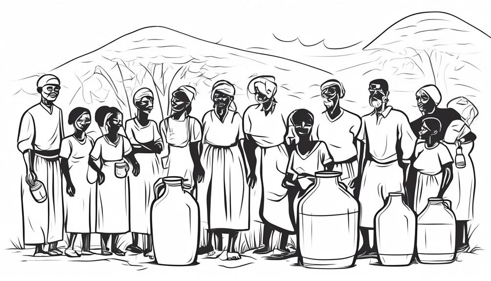
In water scarcity assessment, evaluating socioeconomic indicators provides essential insights into the impact of water availability on communities. These indicators offer a window into how different groups are affected by water scarcity. Factors like income levels, education, and employment rates can shed light on who's most vulnerable to water shortages. For instance, low-income households may struggle to afford alternative water sources during scarcity, impacting their health and well-being.
Additionally, analyzing access to sanitation facilities, healthcare services, and education can highlight the broader consequences of water scarcity on a community's development. Lack of clean water can lead to health issues, affecting productivity and economic growth. Understanding these socioeconomic dimensions is crucial for developing targeted interventions and policies to address water scarcity effectively.
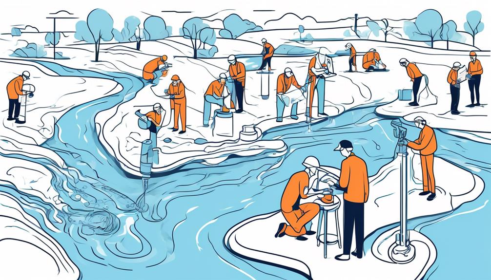
Data Collection Methods for Scarcity Evaluation
To better understand the impact of water scarcity on communities, it's essential to explore effective data collection methods for evaluating scarcity. Here are some key methods to consider:
- Surveys: Conducting surveys within communities can provide valuable insights into water usage patterns, perceptions of scarcity, and specific challenges faced by different groups.
- Remote Sensing: Using satellite imagery and remote sensing technology can help assess water availability, monitor changes in water bodies, and identify regions experiencing water stress.
- Water Use Records: Analyzing water consumption data from utilities, industries, and agricultural sectors can offer quantitative information on water usage trends and help pinpoint areas where scarcity is most acute.
Integrated Water Resource Management Tools
Explore how utilizing integrated water resource management tools can optimize water usage and enhance sustainability in communities. By integrating tools like Geographic Information Systems (GIS), Water Evaluation and Planning (WEAP), and Aqueduct, you can efficiently manage water resources. GIS allows you to map water sources, infrastructure, and usage patterns, aiding in informed decision-making. WEAP models water demand, availability, and quality, helping in planning for future scenarios. Aqueduct provides water risk information, supporting risk assessment and mitigation strategies.
Implementing these tools enables you to identify areas of high water stress, prioritize conservation efforts, and develop sustainable water management practices. Through real-time monitoring and data analysis, you can detect leakages, track consumption trends, and optimize distribution networks. These tools empower communities to make data-driven decisions, leading to improved water resource allocation and long-term sustainability.
Incorporating integrated water resource management tools fosters collaboration among stakeholders, fosters transparency, and promotes effective water governance. By embracing these tools, communities can proactively address water scarcity challenges, safeguard water resources, and ensure a resilient water future for all.
Policy Frameworks for Water Scarcity Mitigation
By harnessing the power of integrated water resource management tools, communities can now shape robust policy frameworks to effectively mitigate water scarcity challenges.
When it comes to policy frameworks for water scarcity mitigation, here are three key aspects to consider:
- Stakeholder Engagement: Involving a diverse range of stakeholders, including local communities, industries, and governmental bodies, ensures that policies are inclusive and consider the needs of all parties involved.
- Adaptive Management Strategies: Implementing flexible policies that can adapt to changing environmental conditions and water availability is crucial for long-term water scarcity mitigation.
- Monitoring and Evaluation Mechanisms: Establishing clear monitoring and evaluation mechanisms helps track the effectiveness of implemented policies, allowing for adjustments to be made in real-time to enhance water scarcity mitigation efforts.
Frequently Asked Questions
How Can Communities and Individuals Contribute to Mitigating Water Scarcity Beyond the Use of Assessment Tools?
You can make a difference in fighting water scarcity! Conserve water daily, fix leaks promptly, support sustainable water practices, and spread awareness. Your actions, big or small, contribute to a healthier future for all.
Are There Specific Regions or Countries That Have Successfully Implemented Water Scarcity Assessment Tools and Seen Positive Results?
So, you're curious about regions that nailed water scarcity tools? Absolutely! Imagine places like Australia and Israel acing this game. They've crunched the numbers, made smart moves, and voilà – success!
What Are Some Common Challenges Faced When Implementing Remote Sensing Techniques for Water Scarcity Assessment?
When using remote sensing for water scarcity assessment, challenges like data accuracy, interpretation complexity, and cost constraints often arise. It can be daunting, but with proper training and resources, these obstacles can be overcome.
How Do Socioeconomic Indicators Play a Role in Prioritizing Water Scarcity Interventions and Solutions?
In prioritizing water scarcity solutions, socioeconomic indicators help focus efforts where needed most. By pinpointing vulnerable communities, income levels, and access disparities, interventions can be tailored effectively, ensuring resources are allocated efficiently for maximum impact.
Can You Provide Examples of Successful Policy Frameworks That Have Effectively Addressed Water Scarcity Issues at a National or Regional Level?
Imagine a country where rivers flow freely, and taps never run dry. Through smart policies like water recycling, public awareness campaigns, and strict regulations on usage, nations like Singapore have triumphed over water scarcity.
Conclusion
So, now you've got all the tools to assess water scarcity at your fingertips. Congratulations! Just remember, while these tools are handy, they can't solve the problem on their own.
It's up to you to take action and make a real difference in addressing water scarcity. So go ahead, dive in, and let's make a splash in saving our most precious resource.
